UDPATE: 5pm, Tuesday:
Via the NSW SES:
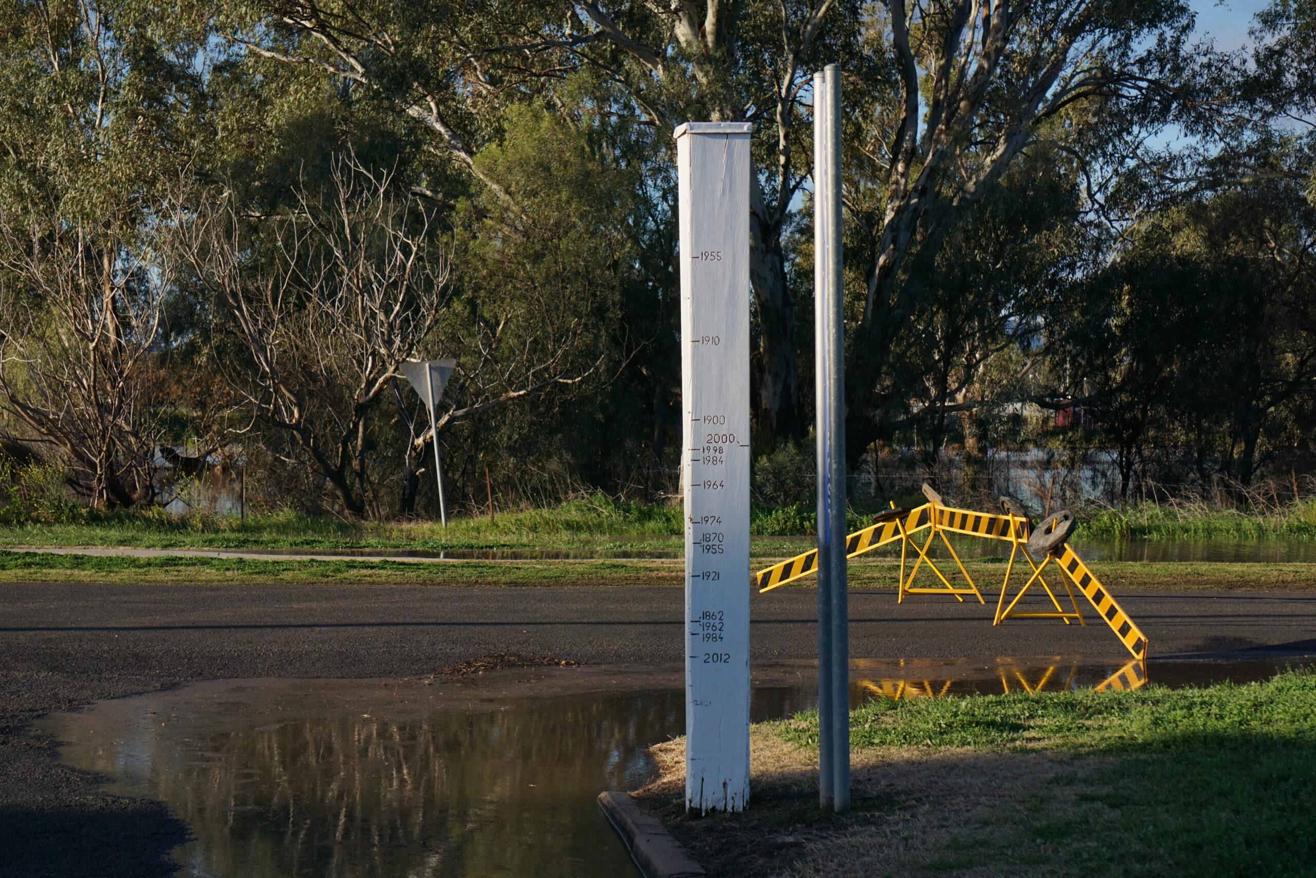
“The Bureau of Meteorology advises the Namoi River at Gunnedah peaked at 8.51 m around 03:00 am Tuesday August 5, with major flooding.
“The river is currently at 8.42 m and steady, with major flooding.
“The Namoi River at Gunnedah may fall below the major flood level (7.90 m) overnight Tuesday into Wednesday.
“The river may fall below the moderate flood level (7.60 m) during Wednesday.”
For the latest advice, monitor ‘Hazards Near Me’ app.
UPDATE, 1.15pm, Tuesday:
Mystery surrounds the Namoi River height data at Gunnedah after unusual figures were wiped from official readings earlier today.
The Namoi River was expected to peak near 8.5m overnight Monday into Tuesday – well above the 7.9m major flood level.
Early on Tuesday morning, the automatic river gauge at Gunnedah – which is monitored by the Bureau of Meteorology – had the river height hovering around 8.4m.
By 7.15am the readings spiked into 8.70m territory, peaking at 8.78m – which if accurate, would have made it higher than both the 2021 and 2022 Gunnedah floods.
But on the ground, it was a different story.
Residents were reporting the water level was no higher at their properties than recent flood events.
General observations around Gunnedah appeared to confirm this.
The Gunnedah Times enquired with the BOM if these readings were accurate.
A short time later, the official figures from 6-9.30am were wiped from the BOM record.
A bureau spokesperson said: “The Bureau of Meteorology is aware of erroneous real-time data readings during Tuesday morning for the Namoi River at Gunnedah which have since been voided from the Bureau’s website.
“The Bureau’s forecasts and warnings were not impacted by these erroneous readings.”

The vacant BOM river height levels at Gunnedah after an enquiry was lodged by the Gunnedah Times.
NSW SES inspector Carl Manning, who has been assisting with the flood rescues in Gunnedah, said the false readings could have been due to many factors.
“There could be slight changes in (water storage) discharge rates, there could be creeks that were slightly blocked then cleared feeding into the main river system … we’re never going to know exactly what causes those ranges but it’s why we allow a bit of variation in our warnings,” he said.
The SES is observing the river movements throughout Tuesday to confirm any further potential increases.
“We’ve put some crews on the ground to verify that to see how it adjusted overnight,” Mr Manning said earlier on Tuesday.
“We have some known marker points to understand how much it has moved since yesterday.
“We can use historic data from intelligence we’ve gathered yesterday to put that together to compare.
“We’ll be monitoring through the day to see if it holds steady or perhaps even falling by end of the day.
“We’re going to have crews in town for a few more days yet assisting people as required.”
As of 12.45pm Tuesday, the Namoi River at Gunnedah was steady at 8.44m.
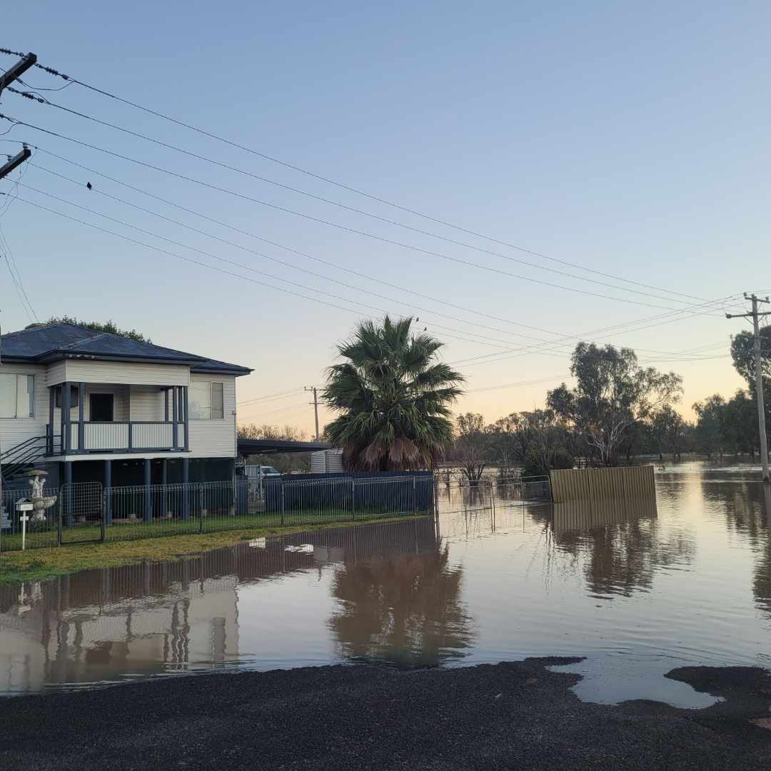
Battling floods for 50 years at the place Ellen calls ‘home’
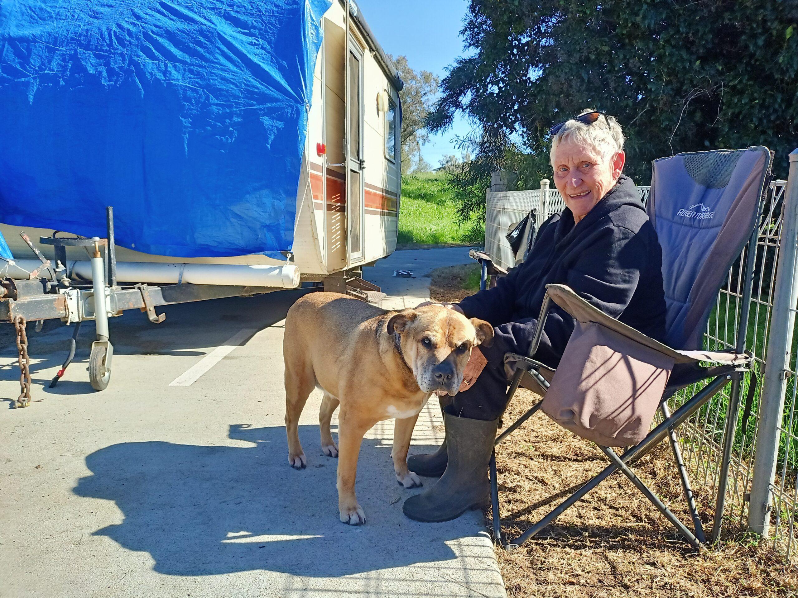
Gunnedah resident Ellen Gold outside her caravan in Gunnedah where she is living until the flood recedes in Gunnedah.
Ellen Gold is as stoic as they come.
The Gunnedah resident lost some of her most treasured possessions in the 1970s-era floods.
“We lost everything … baby photos, wedding pictures … everything,” Mrs Gold said.
As new residents in the neighbourhood, Mrs Gold and family had only just moved in and barely unpacked when the flood hit.
Fifty years on, the mother to four children, grand mother to nine and great grandmother of 17, is still battling major floods.
So often are these events occurring, she said they endure a significant flood almost every five years.
Despite the anguish, Mrs Gold wouldn’t have it any other way.
“It’s home,” she said, lovingly.
Her Gunnedah residence was one of many in the area raised after the 70s’ floods.
The house is now unaffected by the water height but access to and from the property is difficult when the water is this high.
To reduce the isolation, Mrs Gold is living in her caravan parked on the roadside, waiting until the flood recedes.
It’s not ideal, especially when the floodwater rises rapidly during the night, but it’s the best she’s got for now.
“I thought I was far enough away (from the floodwater),” Mrs Gold said.
“I had to get up at 3.15am on Monday morning to move the caravan up the path.”
Fortunately, she had help to move the van and will relocate again if the water rises.
The caravan stays have become a tried-and-true practice for this veteran of Gunnedah flooding.
Although Mrs Gold conceded the moves were getting harder each time, she rationalised there was little anyone could do against mother nature.
“I’m getting too old to be doing this,” she laughed.
“But [the flooding] is out of our control.
“We just grin and bear it.”
Mrs Gold also praised the efforts of the SES and emergency services who “have been great” with help throughout the flood event.
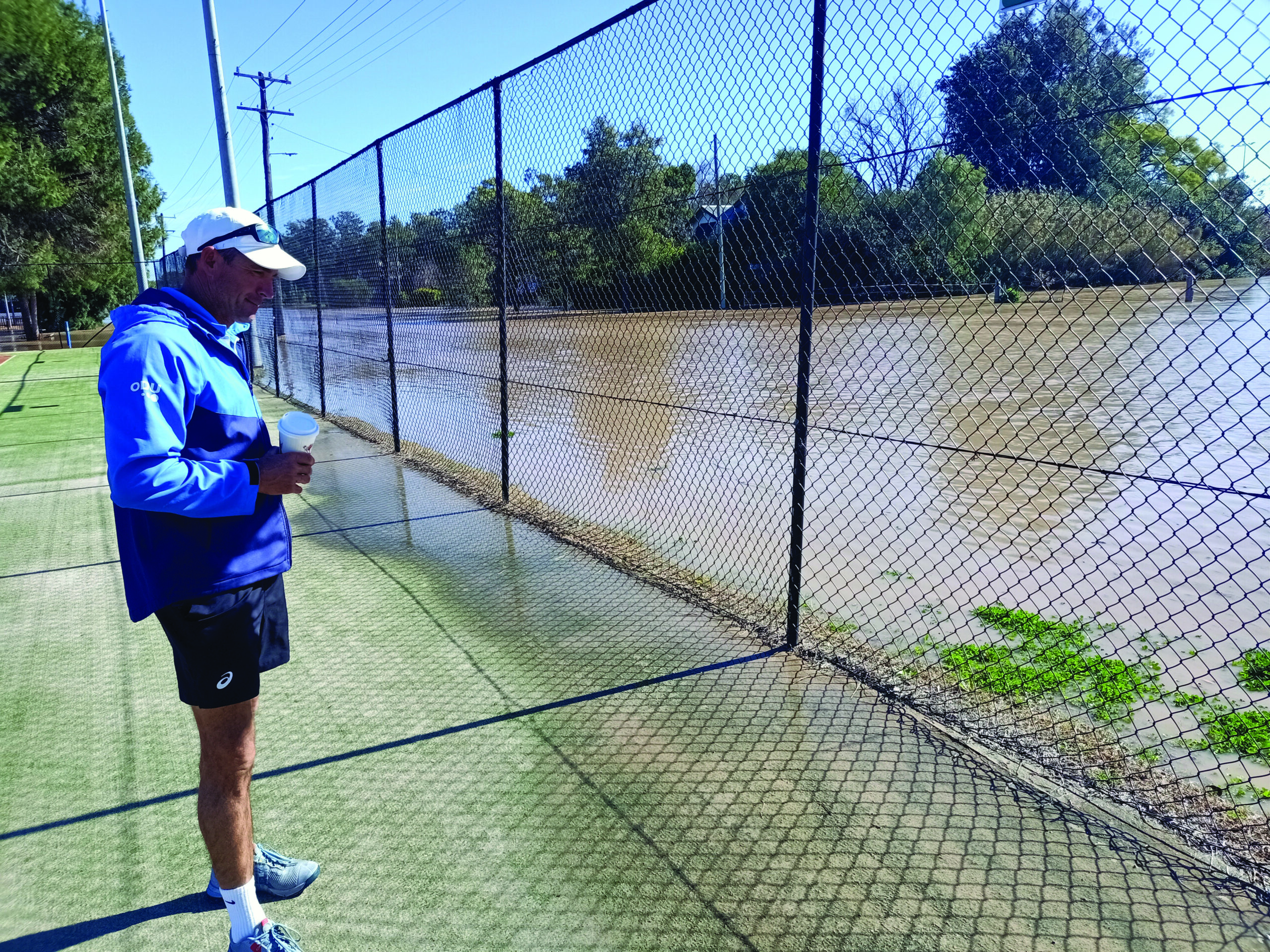
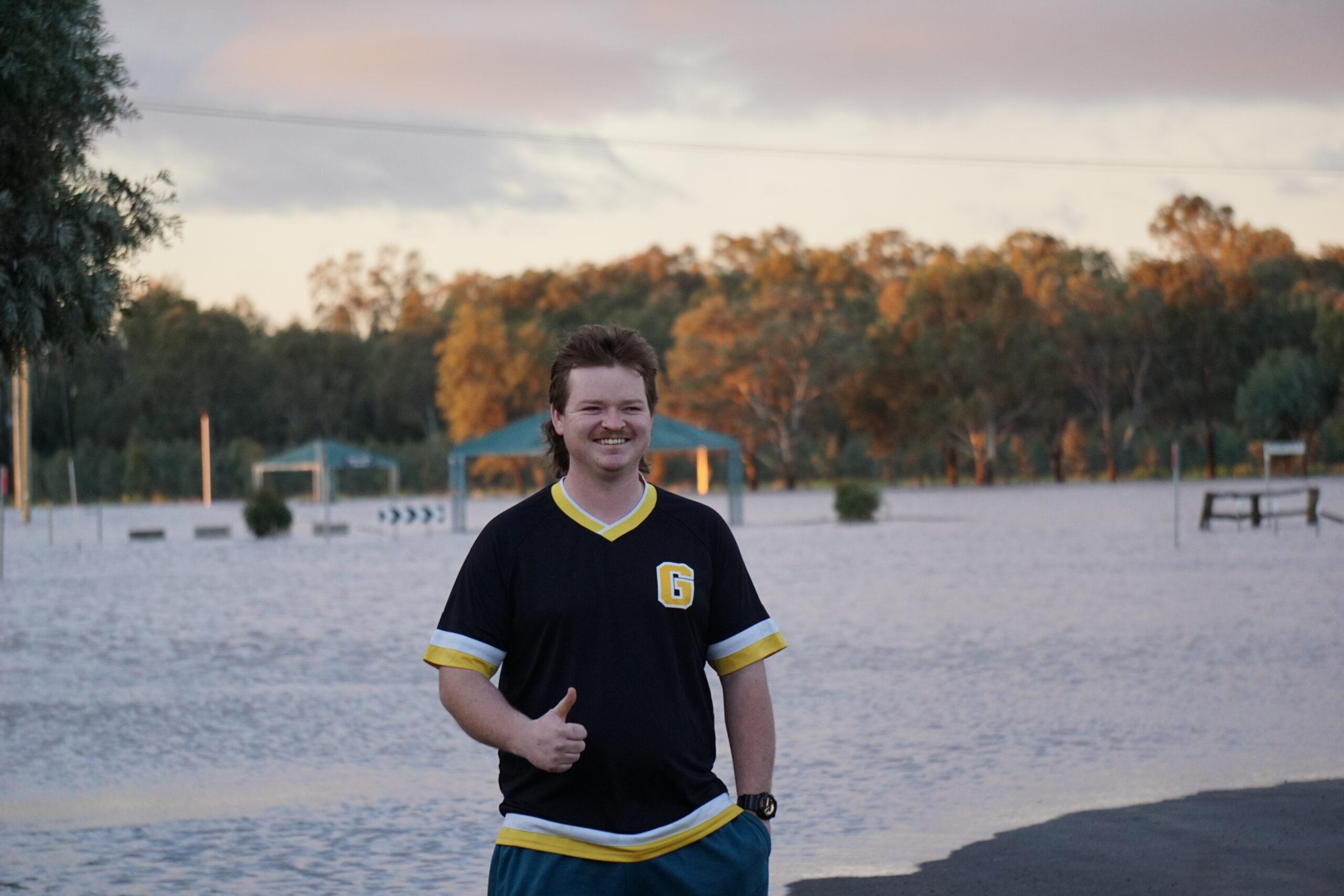
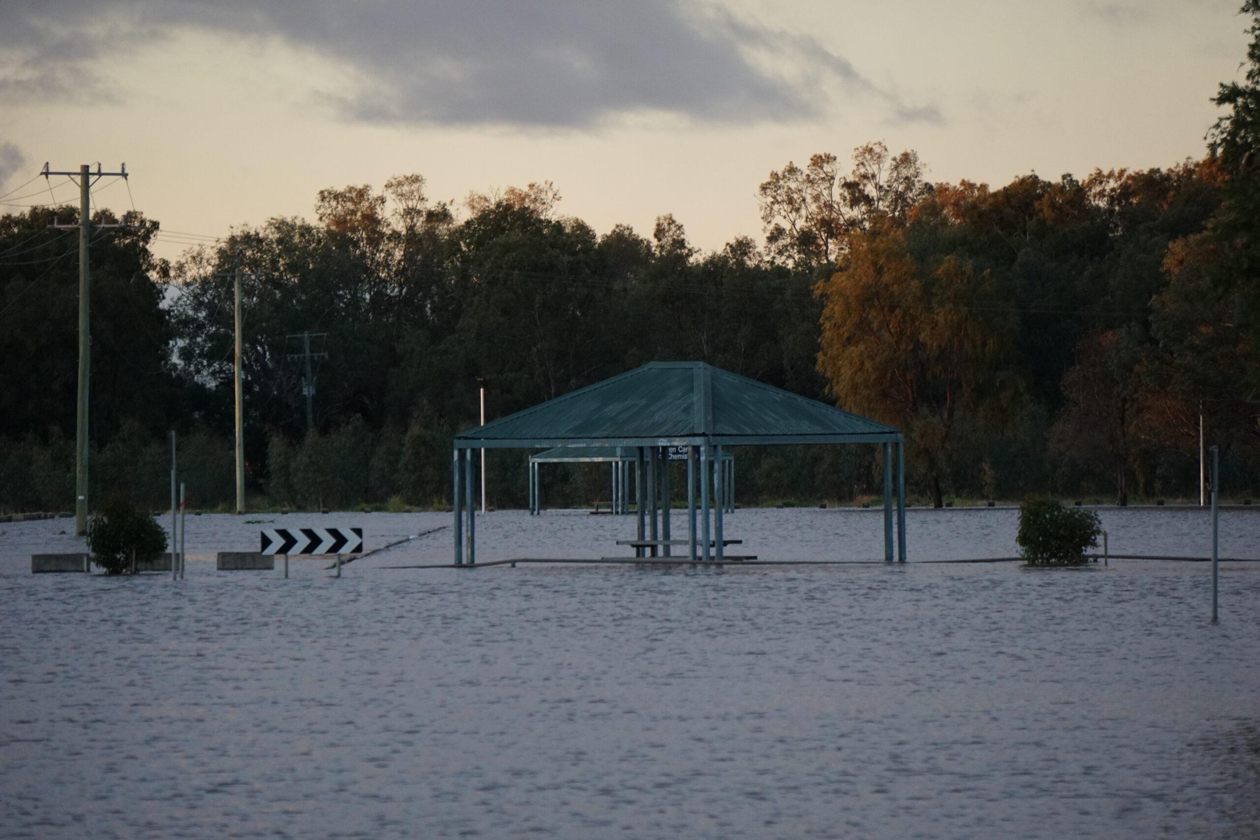
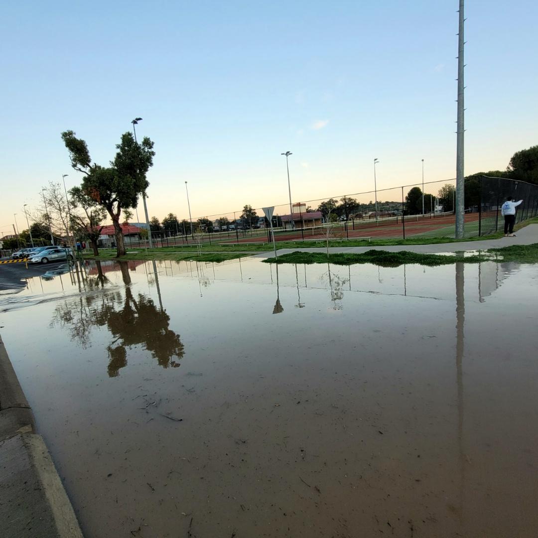
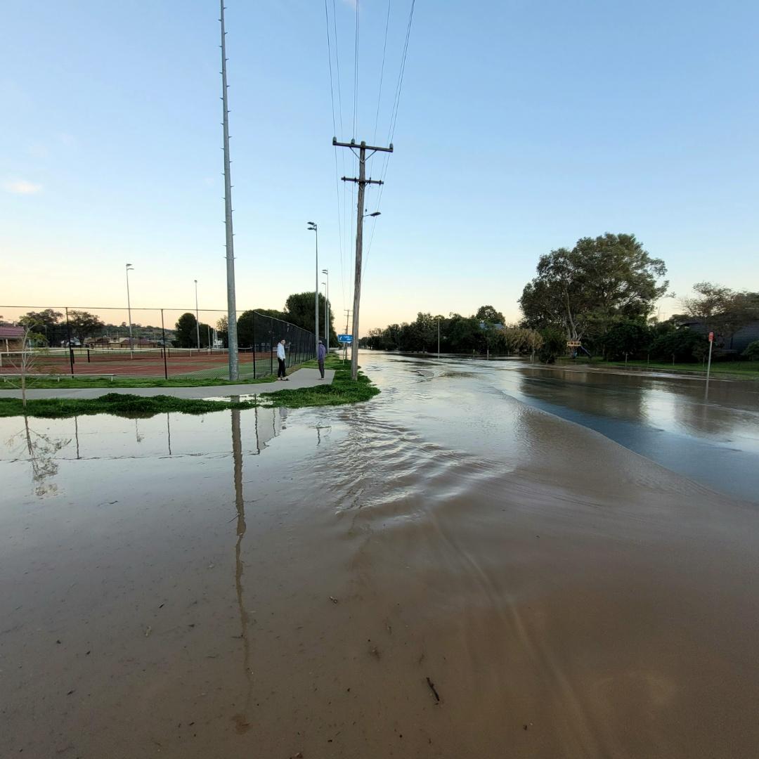
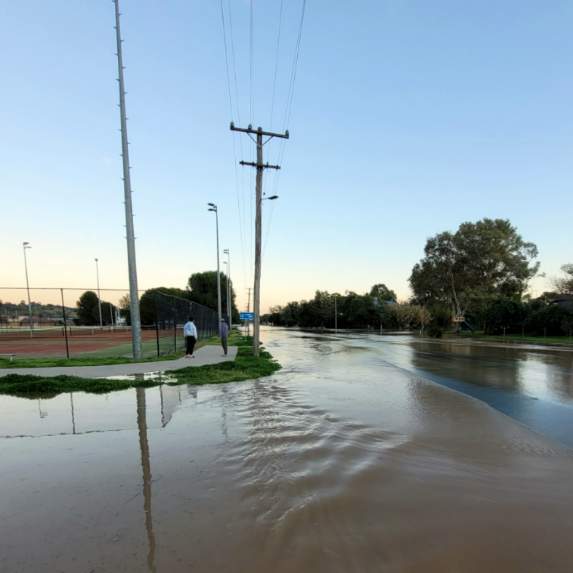
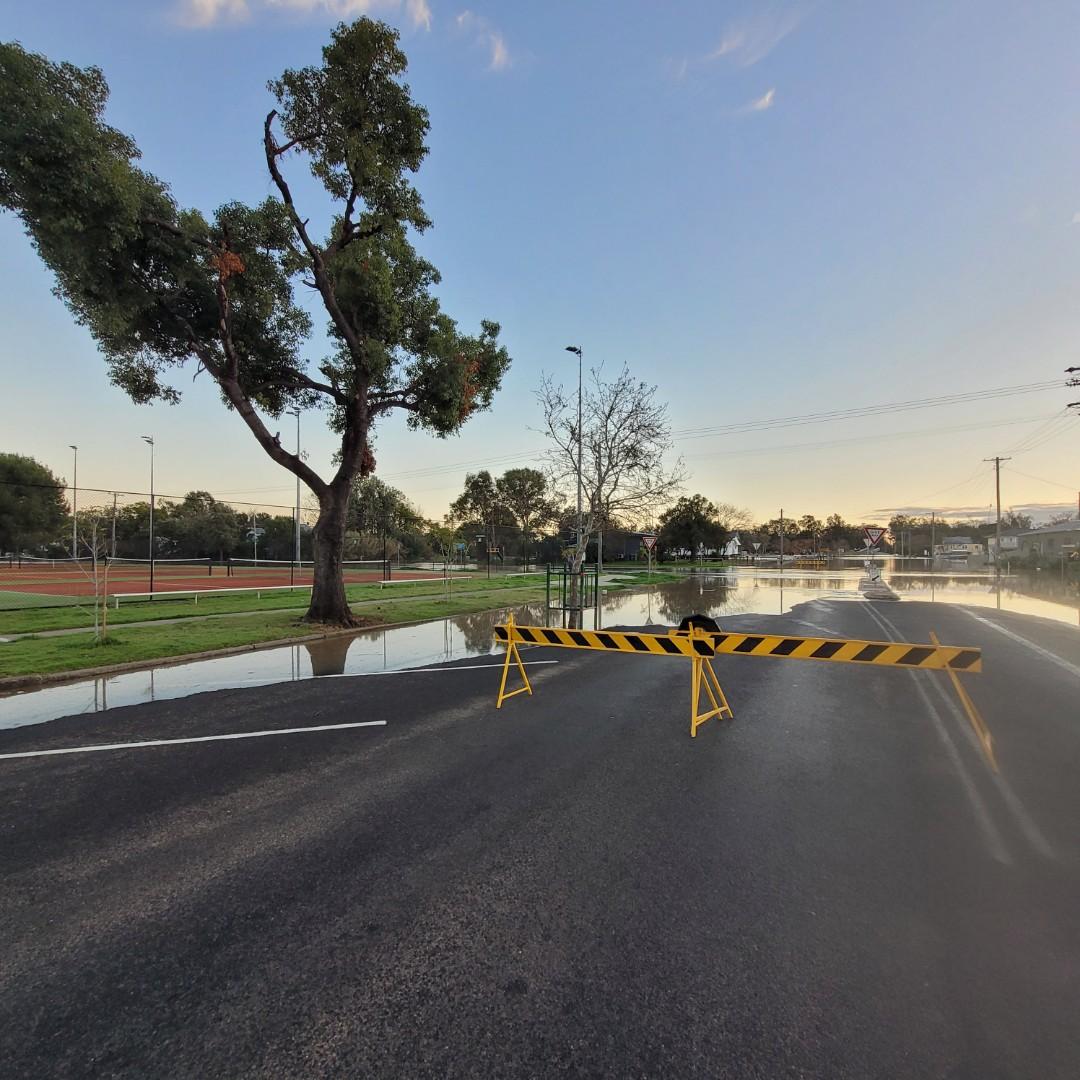
Craig Louis monitoring the floodwater at the Wolseley Park tennis courts on Monday morning.
UPDATE, 3.15pm Monday:
Businesses are bracing for what’s to come ahead of the flood peak in Gunnedah.
The Namoi River in Gunnedah is now expected to peak near 8.50m overnight Monday into Tuesday.
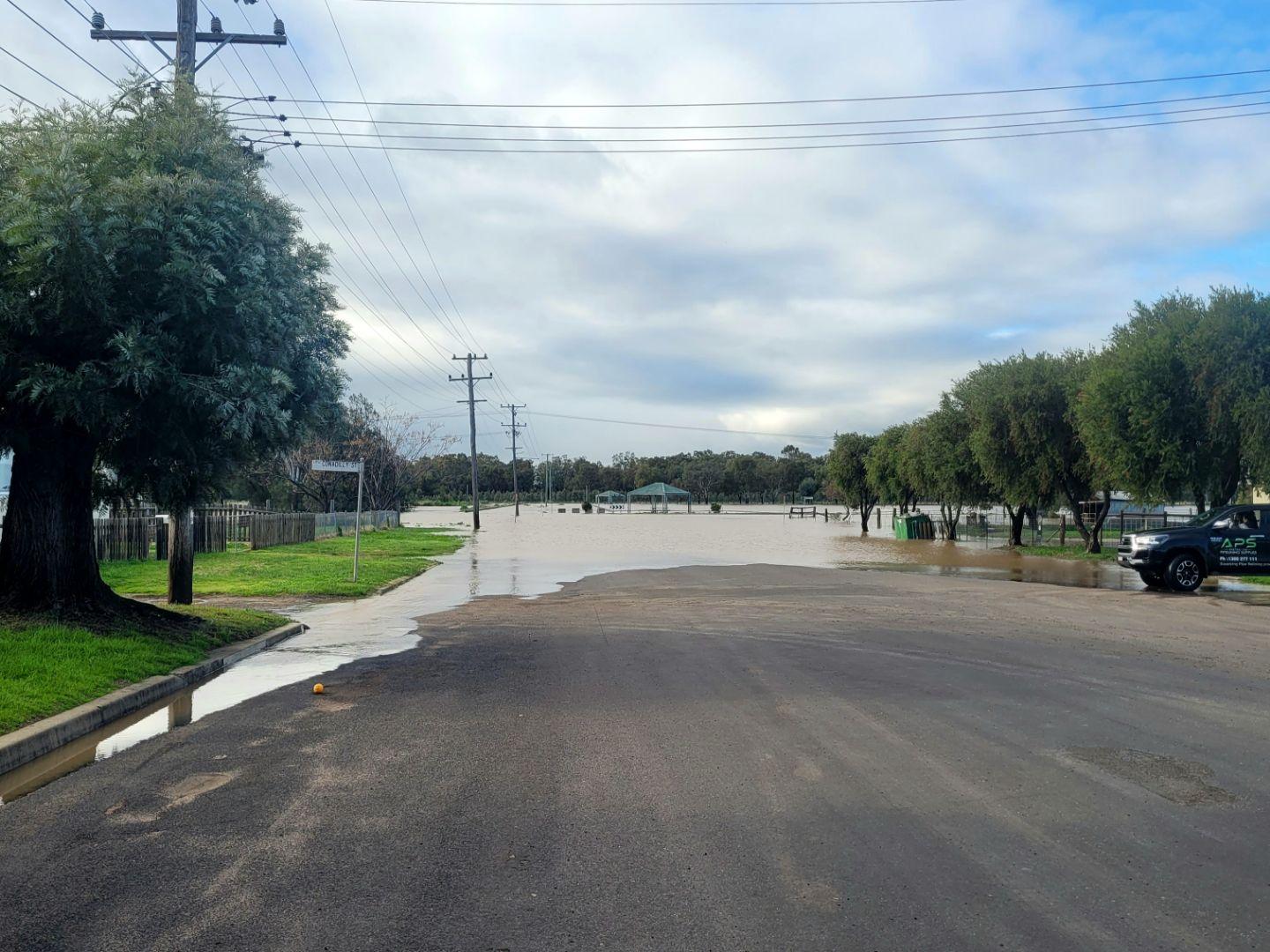
At the northern end of Conadilly Street nearest the rising floodwater, business operator Tiarne Harley said all they could do is “watch and wait”.
She said there was some reassurance in experience of the 2021-22 flood events which exceeded the current river height of 8.4m.
“The highest it got to before it was lapping at our door – that was 8.6m,” she said.
The Gunnedah printing business was forced to shut its doors on Monday as staff from Tamworth and Boggabri were unable to travel to town.
Next door at Gunnedah Locksmiths, Lyn Gurney, also said experience of previous floods meant they knew what to expect from the encroaching floodwaters.
“We know the numbers now,” she said.
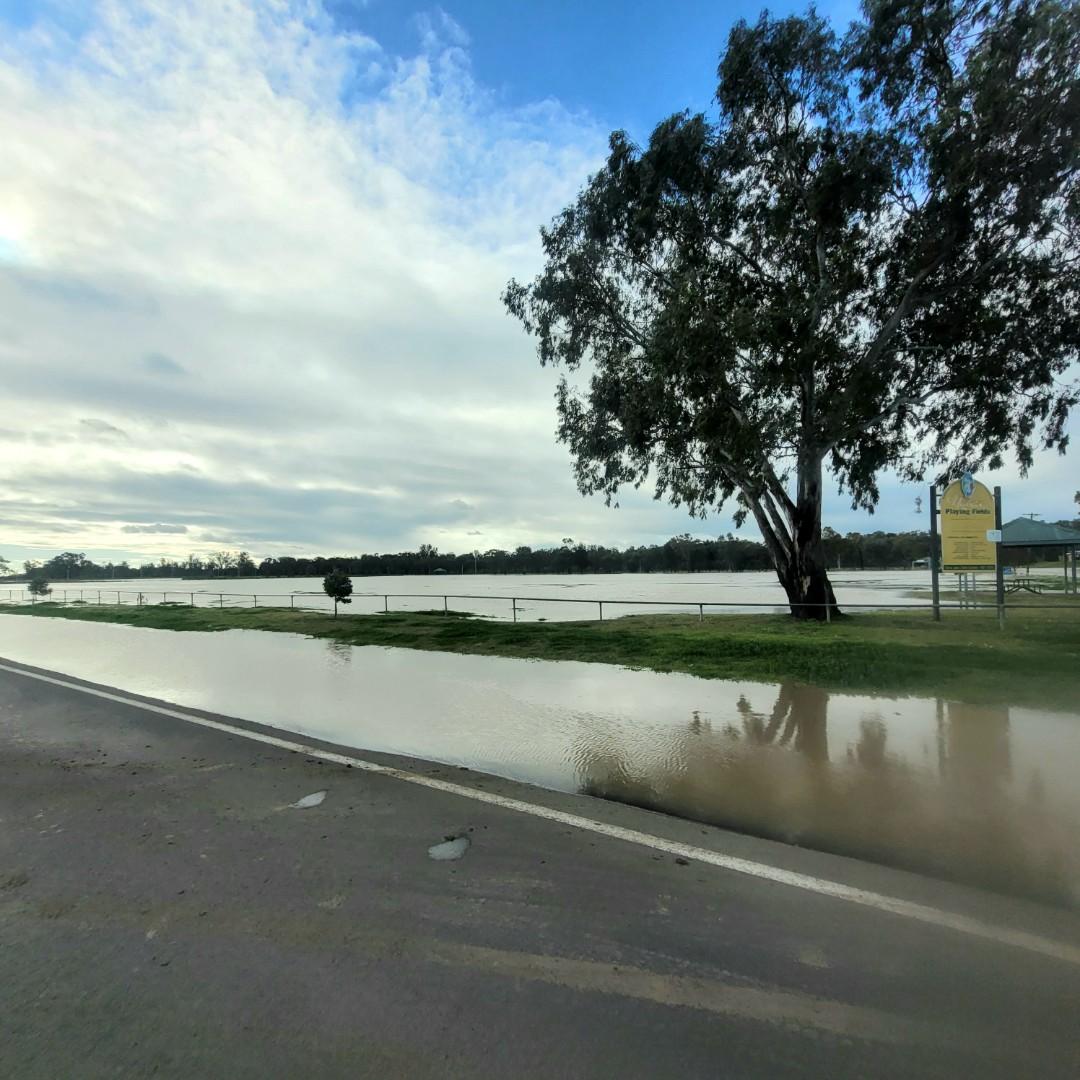
At Wolseley Park tennis courts, tennis coach Craig Louis was watching on as floodwater lapped the northern edge of court fence line on Bloomfield Street.
“At this stage things are ok so we haven’t had to do much,” he said.
A school tennis tournament scheduled for Tuesday has been postponed. This is allowing Mr Louis and others to concentrate on protecting the courts from too much damage.
“If it goes over the courts we found the best thing is to push the water off as it’s going down, which pushes the mud off,” he said.
Despite the ongoing floodwater inundation to the courts, he is thankful for the little elevation which is afforded to the facility.
“I’m grateful the courts are as high as they are,” he said.
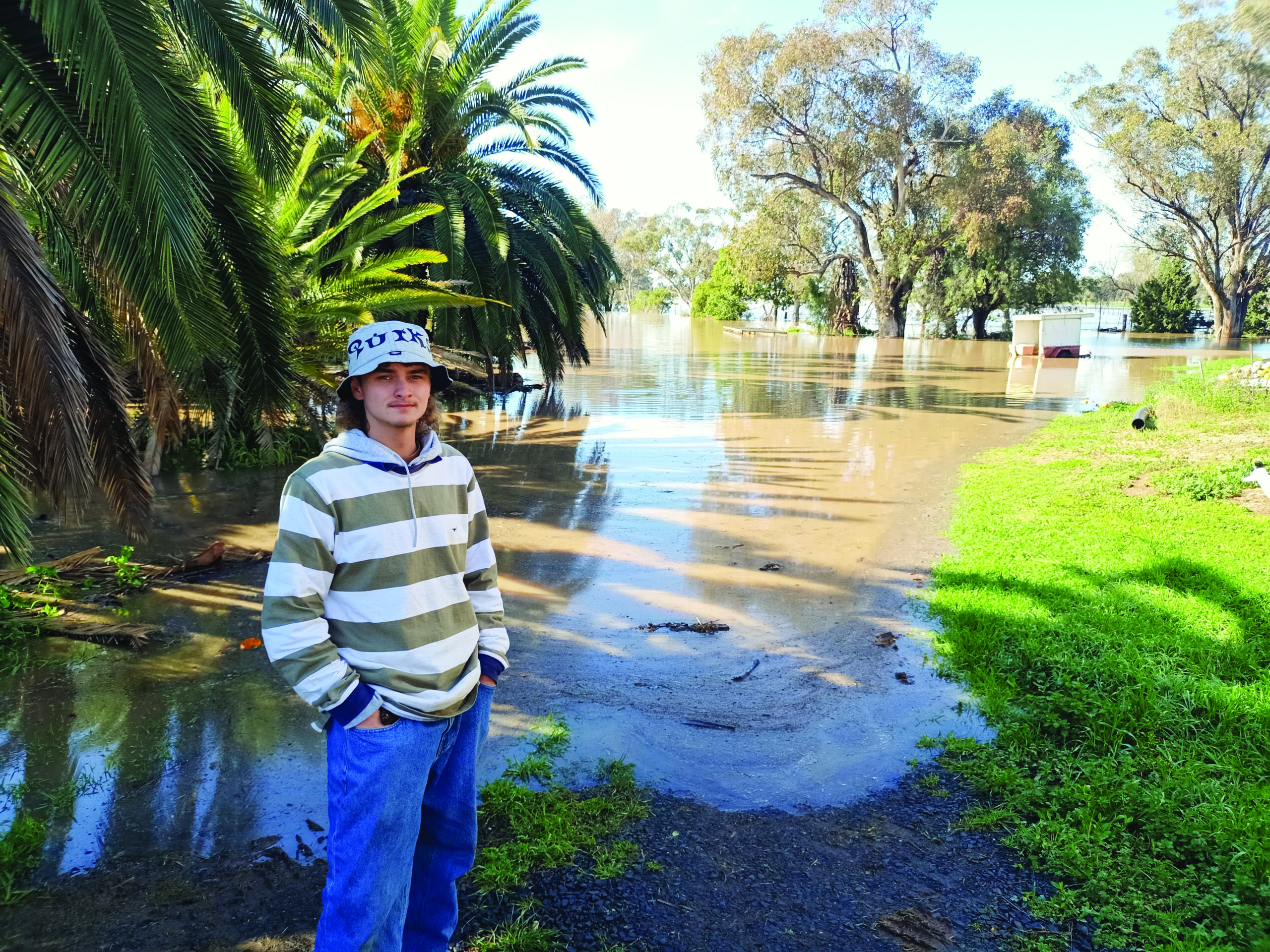
Apprentice horticulturalist Kayden Ayton at the flood affected nursery business north of Gunnedah.
On Gunnedah’s northern approach, floodwater was steadily rising on Monday morning at a nursery and hay supply business.
Apprentice horticulturist Kayden Ayton had been blocking pipes around a small levee bank on the property’s inside perimeter. He hoped this would help buy some time from the rising floodwater.
“I’m hoping the nursery doesn’t get washed out,” Mr Ayton said.
The young apprentice was also worried about floodwater affecting its hay stocks.
“About 70-80 per cent of people come in for that,” he said.
Mr Ayton was only new to the business but said the property had some known flood markers to indicate the water height.
UPDATE: 1.30pm Monday:
The NSW SES has advised the flood peak along the Namoi River is now approaching Gunnedah.
The Namoi River at Gunnedah is likely to peak near 8.50 m overnight Monday into Tuesday, with major flooding.
UPDATED, 12.15pm Monday:
A family of five has been rescued in the dark from their flooded rental car outside Gunnedah last night.
The family group, which was travelling from outside the Gunnedah area, became trapped when their vehicle attempted to pass floodwater north of town.
NSW SES chief inspector Christian Young said rescue crews responded about 8pm to the corner of Kelvin Road and Old Bluevale Road.
Mr Young said by the time crews arrived minutes later, the car had already started to shift in the fast-moving water.
The car’s occupants were rescued and taken to the Gunnedah emergency evacuation centre.
It is believed road closed signs were established on the Bluevale side, but at that stage council crews were unable to reach the other side to place signs.
As of 12.15pm on Monday, the Namoi River height at Gunnedah was at major flood level at 8.38m.
Mr Young said three emergency warnings are active for Gunnedah, which are predominantly affecting residential areas at the northern end of Conadilly Street.
He said the advice they have received is the flood is approaching its peak in Gunnedah. The peak is expected sometime today but the exact timing is unknown.
“We’re still expecting it to get to 8.4 metres but it could it exceed that,” Mr Young said earlier this morning.
He added the river could remain at its peak for up to one day but there is uncertainty about water being released from Keepit Dam as well.
Mr Young said emergency services are actively monitoring flood levels on the ground.
“We need to make sure the data aligns with what we’re seeing,” he said.
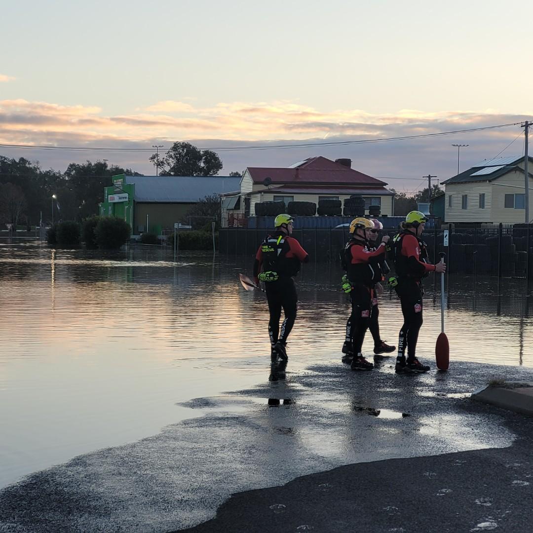
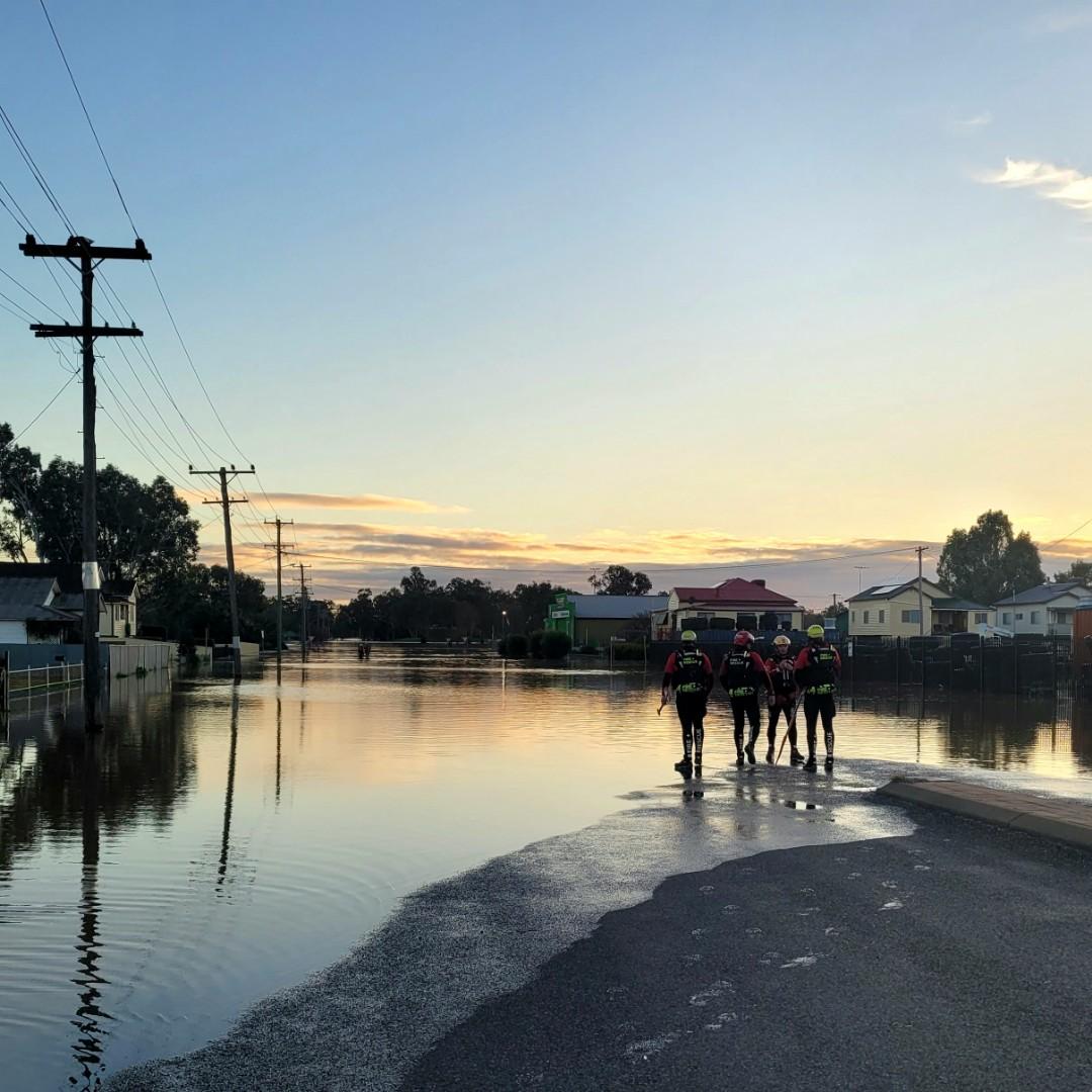
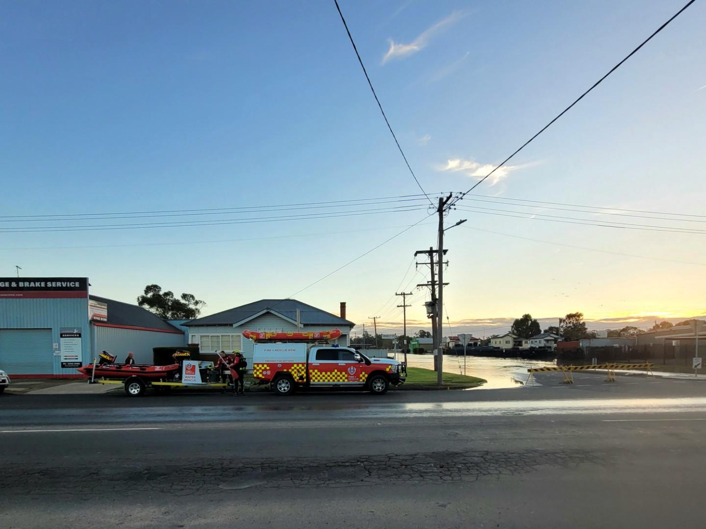
Six on-water and in-water rescue teams, each comprising about 4-5 personnel from the NSW SES and NSW Fire and Rescue, are in Gunnedah to assist.
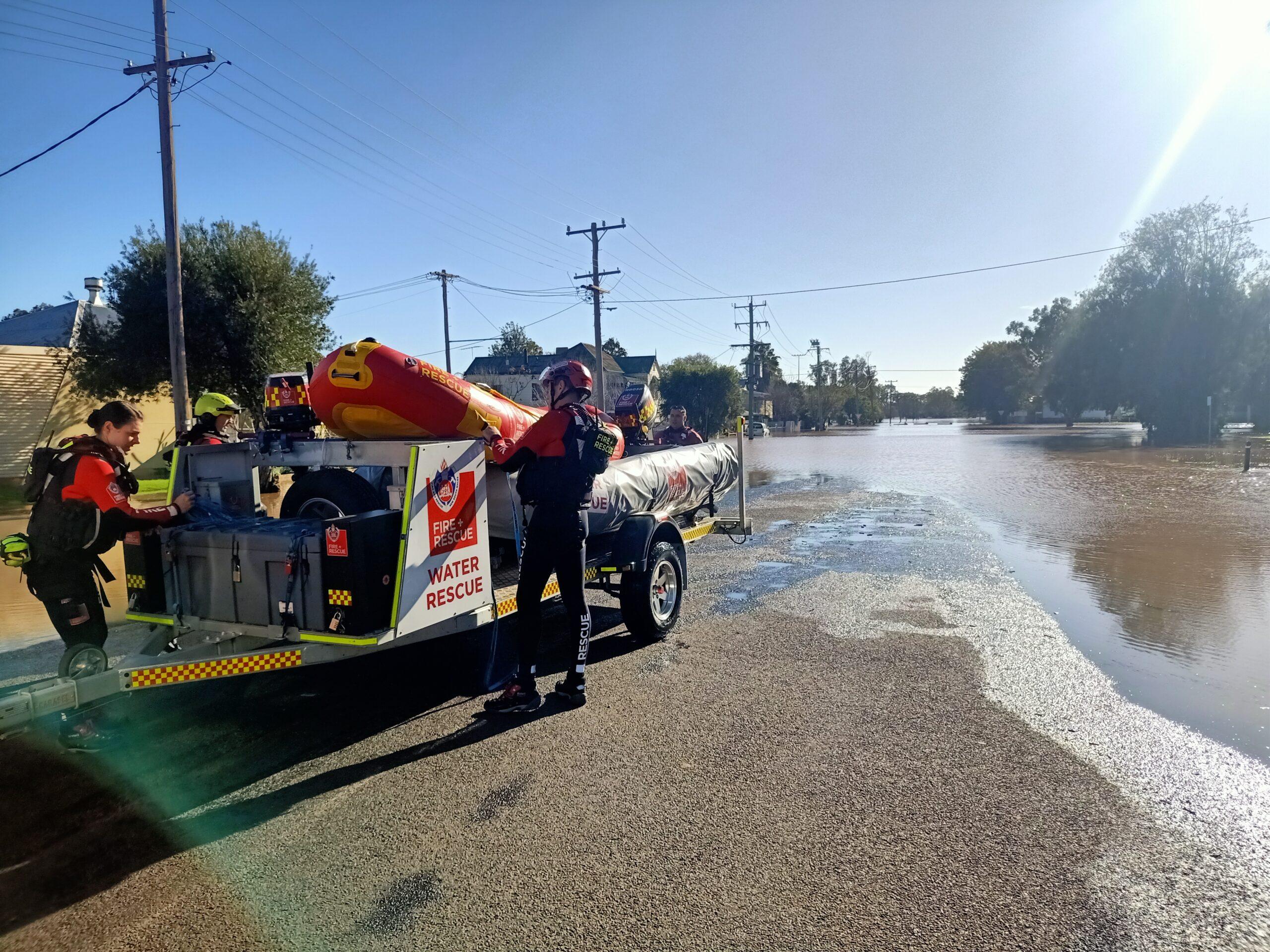
In-water rescue teams in Gunnedah on Monday.
One Fire and Rescue team said they travelled from Sydney to Gunnedah last night with a team of eight personnel.
Emergency services door-knocked residents in Gunnedah late on Sunday.
About 8am on Monday, they assisted with “priority evacuation” of an elderly gentleman and his animals on Tempest Street.
It is understood the man already had floodwater through his property.
Mr Young said despite evacuation warnings in place, authorities are “strongly advising” people to relocate but cannot force people to leave at this stage.
“A lot of people are staying, but they’re mainly at homes that are built up,” Mr Young said.
Emergency services are also assisting with stock relocation to higher ground.
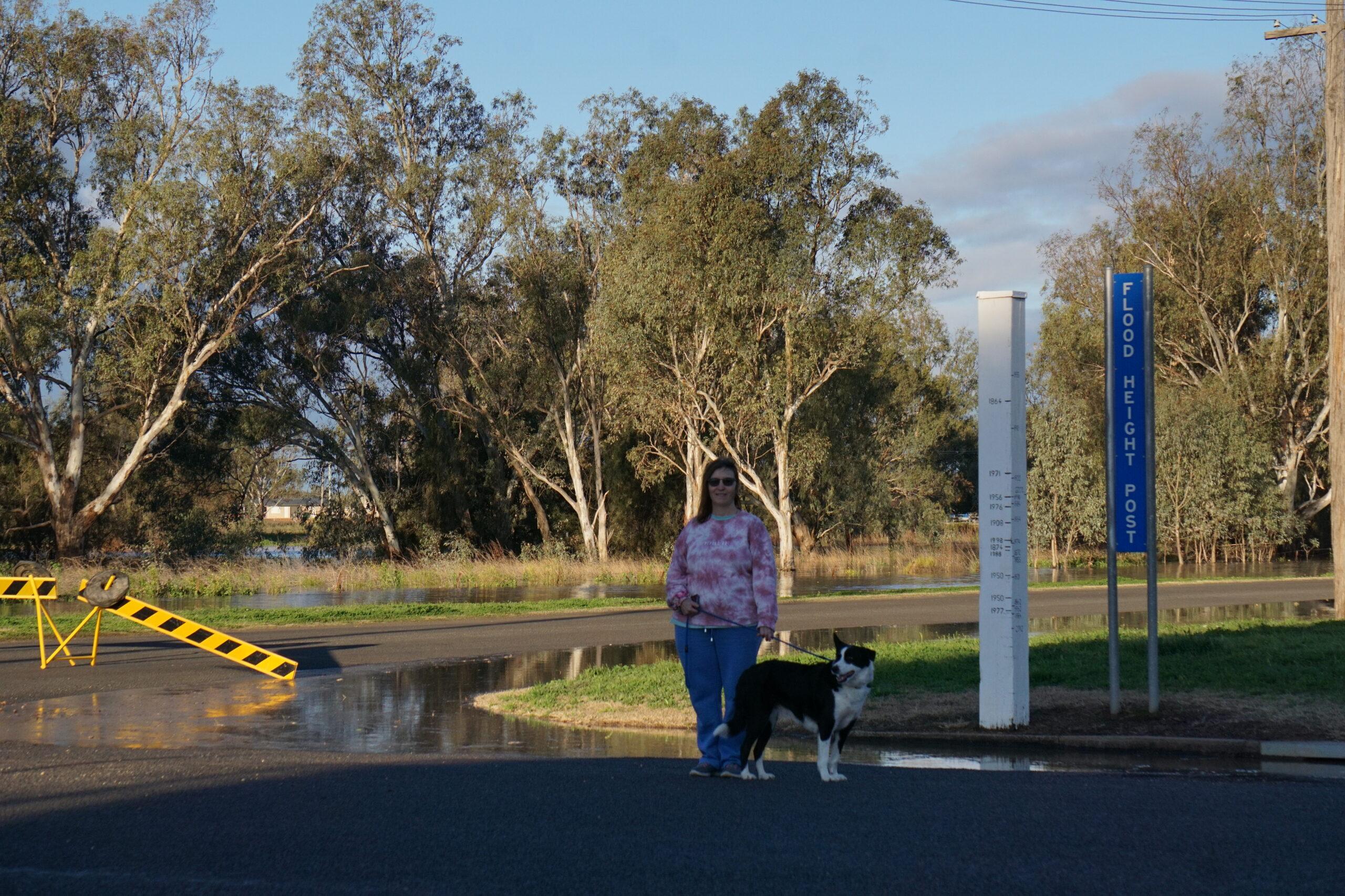
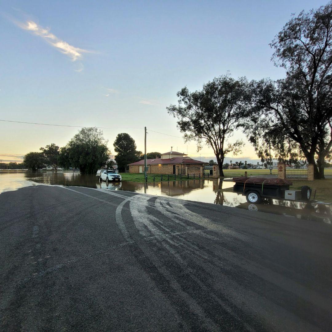
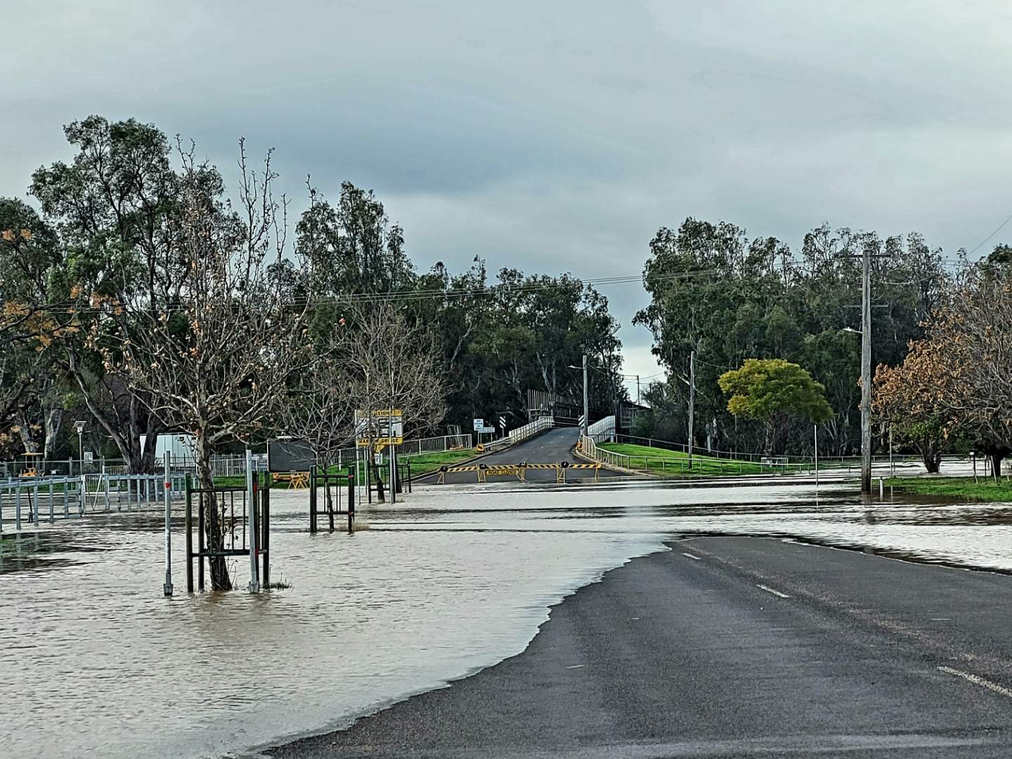
Meanwhile, the village of Carroll remains isolated with floodwater across the Oxley Highway at several points.
Mr Young said although the river height remains at the minor flood level, authorities are aware that residents in the village “are now isolated”. However, a unimog rescue vehicle was able to reach the village earlier this morning.
The NSW SES is also warning people to refrain from “sight-seeing” trips to edge of floodwater.
“We’re seeing a lot of people sight-seeing and getting in way (of emergency services) at some points,” he said.
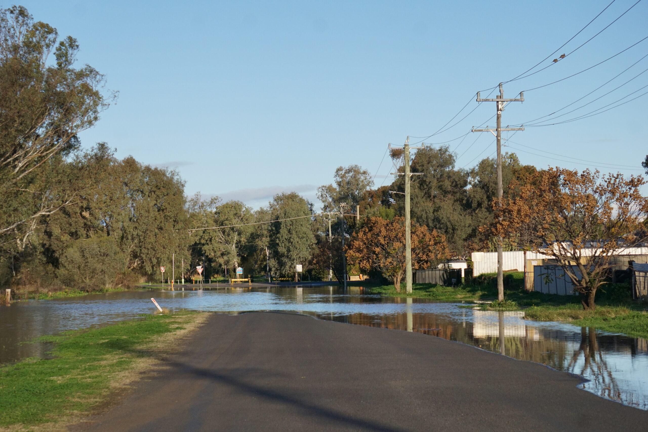
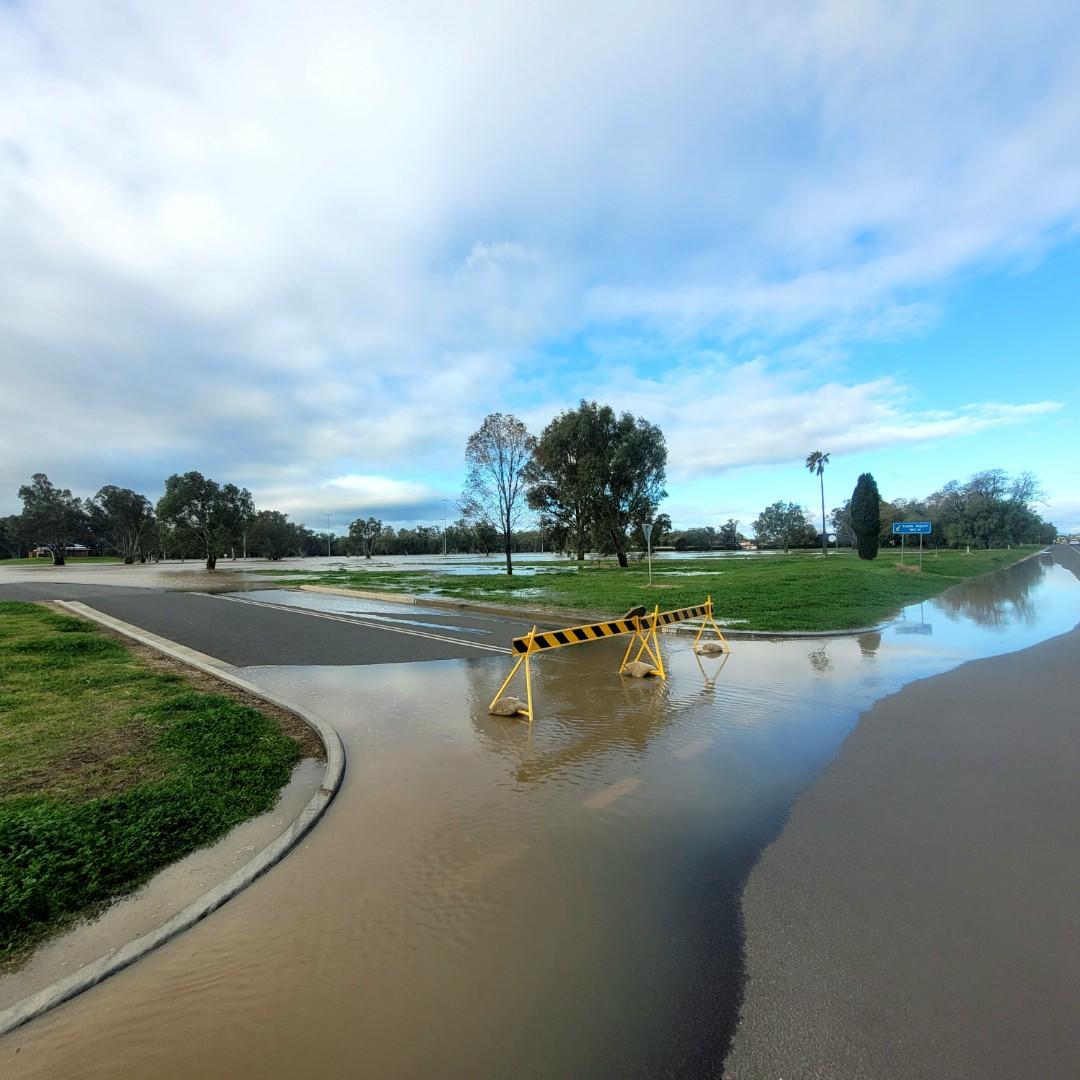
Road closures are in place at the eastern and northern approaches to Gunnedah.
According to LiveTraffic, the Oxley Highway between Gunnedah and Carroll remains closed. Meanwhile the Kamilaroi Highway between Gunnedah and Boggabri is also closed. Alternative routes Tamworth and Narrabri via Orange Grove Road and Grain Valley Road, are also closed.
The Kamilaroi Highway between Gunnedah and Quirindi is open.
More to come ….
EARLIER on Monday …..
The Namoi River at Gunnedah was at 8.22m this morning and rising.
From NSW SES at 8.05am, Monday, August 4:
The NSW SES advises people in the following area(s) NOT TO ENTER FLOODWATER due to predicted rising moderate to major flooding:
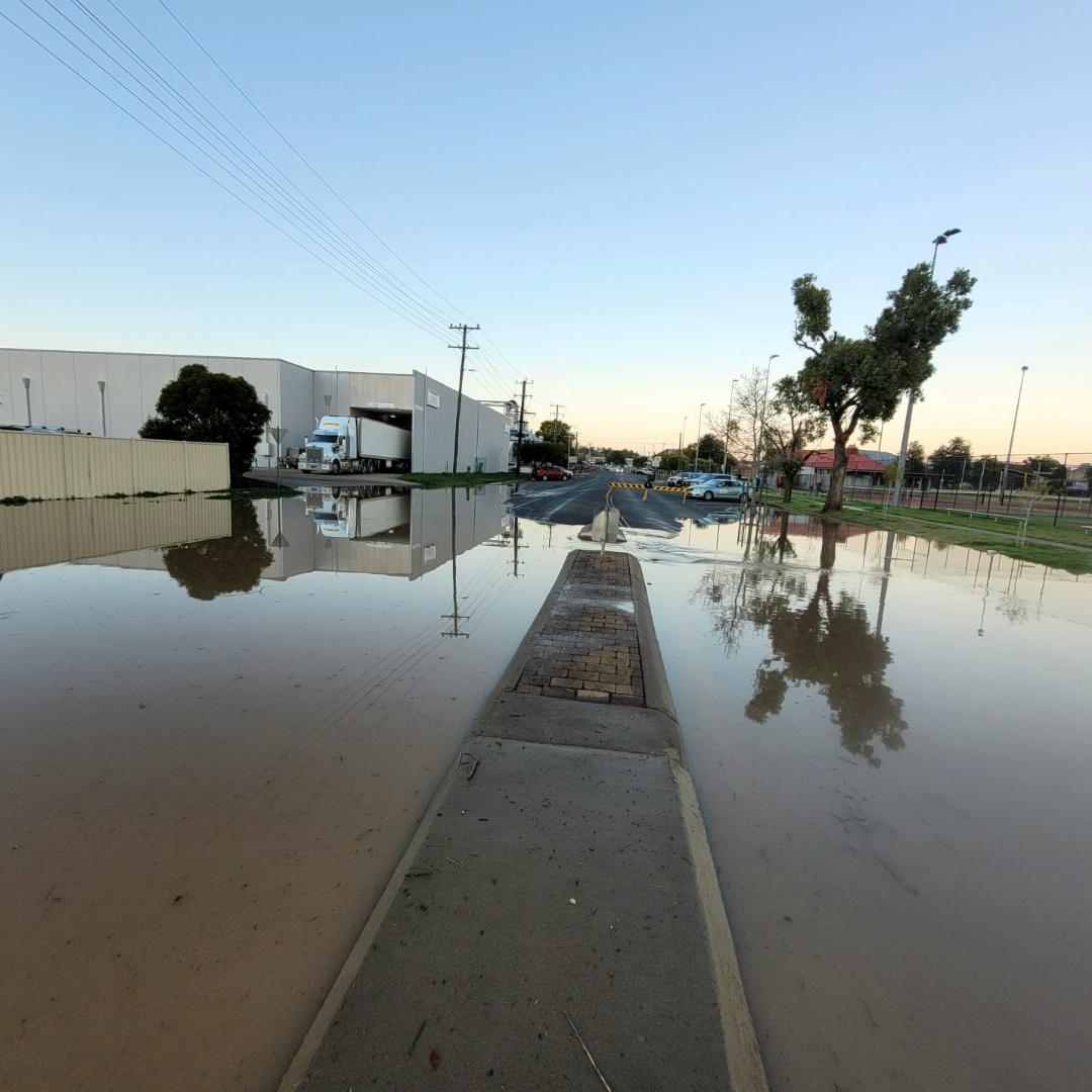
- Low lying areas along the Namoi River and local tributaries.
You should monitor the situation as it is constantly changing. Avoid floodwater for your safety.
What are we expecting?
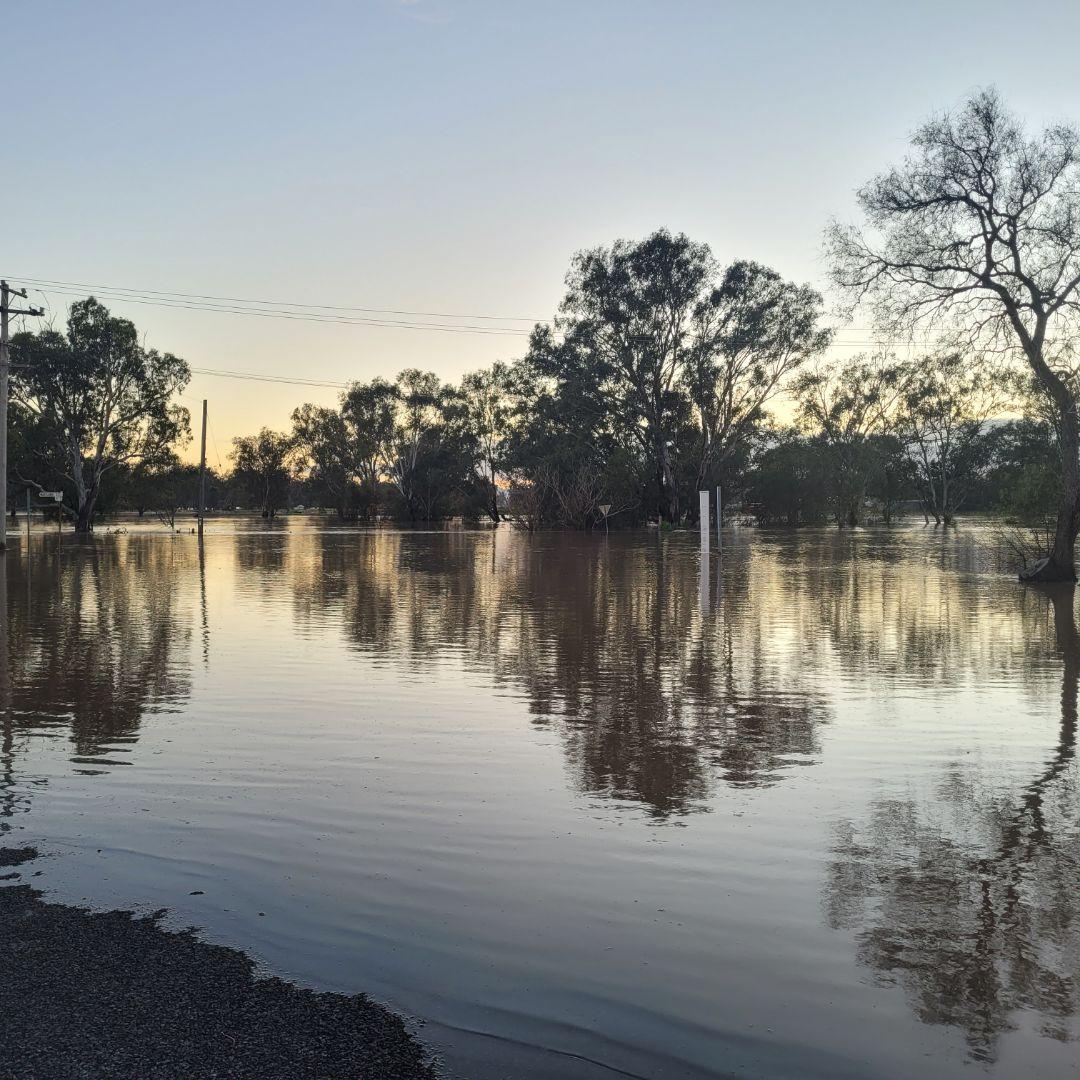
The Bureau of Meteorology advises moderate to heavy rainfall has been observed in the Peel and Namoi catchment during Saturday. Rainfall has eased since early Sunday morning and flood peaks are now moving downstream.
Along the Peel River, Tamworth peaked just below the major flood level Sunday morning, where minor flooding continues during Monday morning.
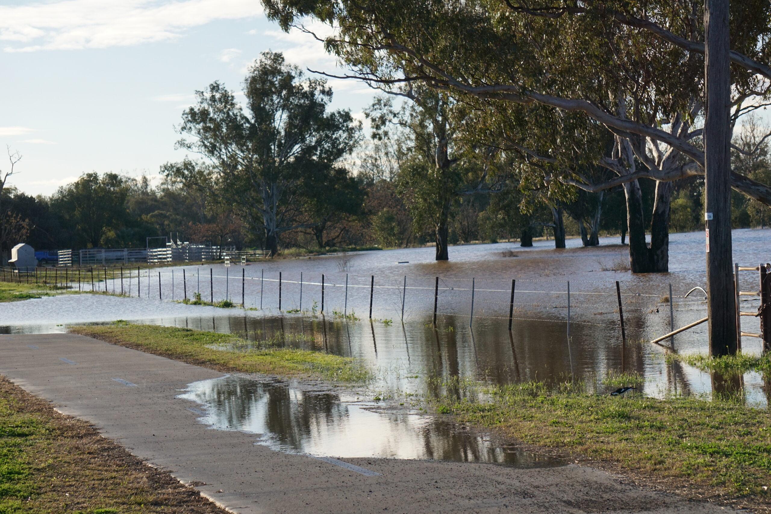
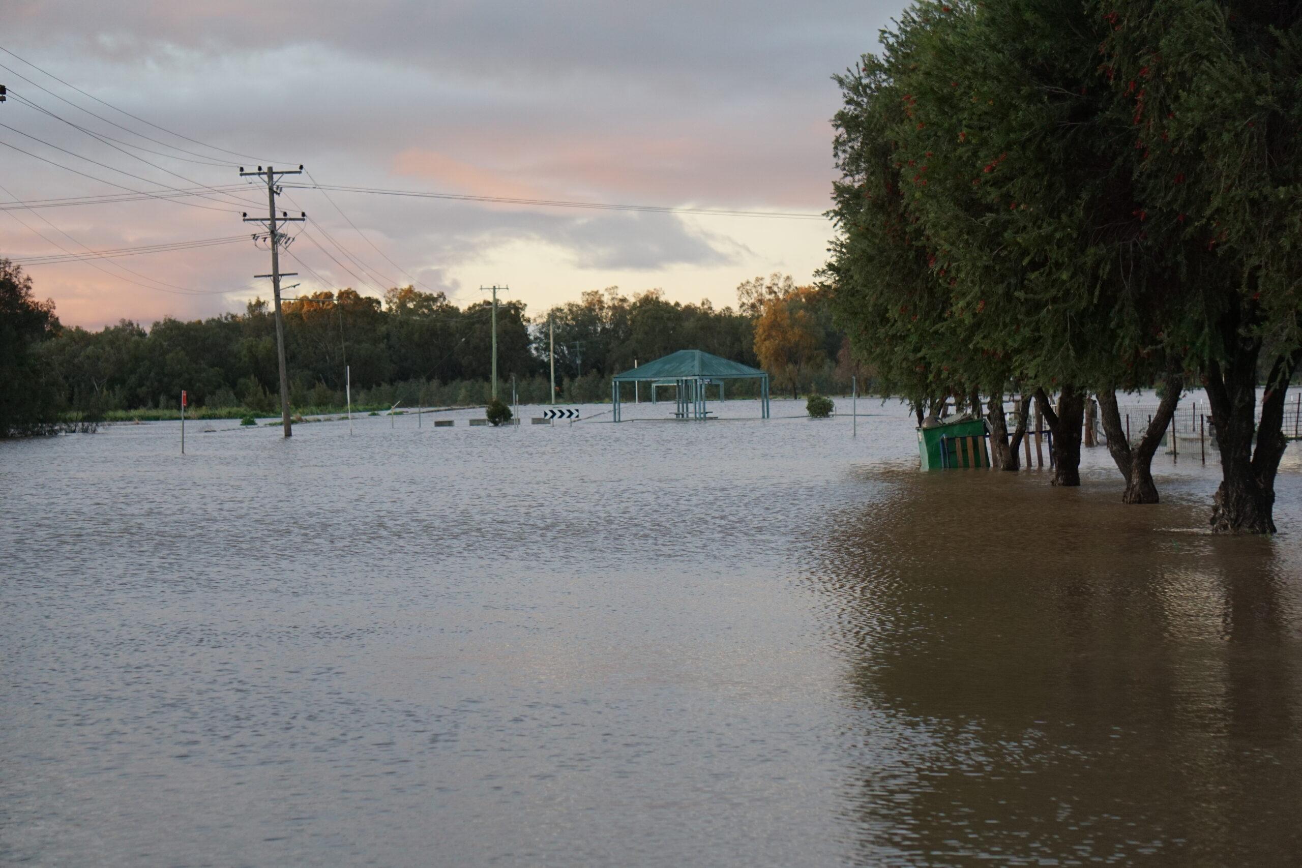
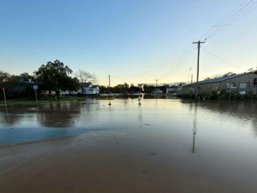
Further downstream, major flooding is occurring at Gunnedah.
The Namoi River at Gunnedah is currently at 8.22 m and rising, with major flooding.
The Namoi River at Gunnedah may reach around 8.30 m Monday morning, with continued major flooding.
Based on predictions from the Bureau of Meteorology, the following areas may be impacted by dangerous floodwaters:
- Properties along the Talibah Flats
- Parts of Old Blue Vale Road
- Parts of Ruvigne Road
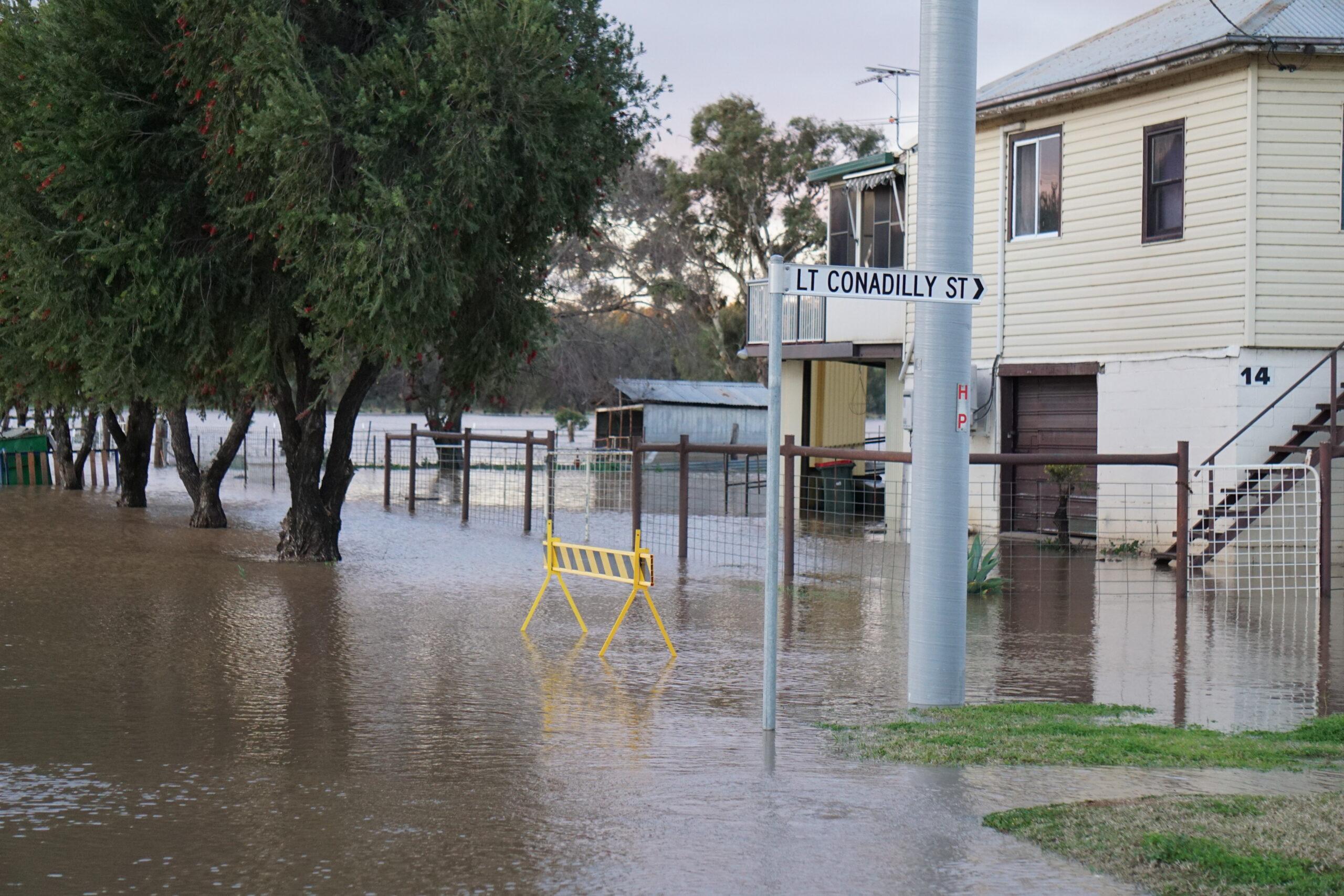
- Properties between Conadilly Street (Up to Marquis Street) and the Namoi River
- North of the Namoi River past Cohen’s Bridge (north of the “pighole”)
- Low lying areas along the Namoi River and local tributaries.
What you need to do:
- If you have a Home or Business Emergency Plan, follow it. Otherwise, have a conversation and plan for what you will do and take with you if you need to evacuate.
- Consider the consequences of road and bridge closures and water over roads and make alternate arrangements for work, children, and travel.
- Plan your route carefully to avoid flooded roads and allow extra travel time.
- Obey all signs about road closures and instructions from emergency services.
- Avoid storm drains and pipes, ditches, ravines and rivers.
- Never drive, walk, ride through, play or swim in floodwater – it is dangerous, toxic, and may void your car insurance. If it’s flooded, forget it. Fines apply.
- Share this information with family, friends, and neighbours and help others prepare where possible.
- People working or camping along the river should monitor river heights and be prepared to relocate to higher ground.
- Farmers should consider moving pumps and farm equipment to higher ground.
- Companion animals and livestock should be relocated to higher ground that will not become an island.
For more information:
- Listen to your local ABC radio station which can be found at reception.abc.net.au
- “Listen to [ABC New England North West 648AM]”
- Download the Hazards Near Me app and set your watch zones to get warning information for your areas.
- Follow the SES on social media @NSWSES or visit www.ses.nsw.gov.au
- Learn about your risk at www.ses.nsw.gov.au/knowyourrisk
- Check latest weather, warnings, rainfall and river heights at www.bom.gov.au/nsw
- Check road closures at www.livetraffic.com.au or 132 701 or your local Council.