


Gunnedah has grown used to floods – but even so, the floods of 1998 defied belief.
Between late July and early September, there were seven separate floods in the Namoi-Mooki system, four of them above the major flood level of 7.90 metres. The highest of the four peaks, 8.85 metres at the Cohen’s Bridge gauge on July 23 that year, was the fifth highest since records were first taken in 1893, exceeded only by 1955 (9.60m), 1910 (9.4m), 1971 (8.97m) and 1900 (8.96m).
Water entered more than 40 homes in Maitland, Bloomfield, Chandos, Tempest, Rosemary, Warrabungle and Little Conadilly Streets. Although furniture and belongings were moved out or raised prior to the arrival of the floodwaters, residents had to face the heart-rending task of cleaning the slimy mud from their floors and walls after the water retreated.

The valley had been saturated by heavy rainfall for a month before the first flood struck. There were only moderate falls in the Namoi catchment and the main trouble spots were the Mooki and Cox’s Creek catchment where there were registrations of “cloudburst” proportions.
Changes in land use patterns over the previous 20-25 years were significant in the evolution of flooding in the late 20th century. The swing from grazing to cropping on the Mooki floodplain helped to produce maximum run-off. Where once there was plains grass, fencing and tree cover, there was now extensive broadacre cultivation, which offered no protection from the rushing floodwater, and irrigation levees designed to divert water from valuable cropping areas, which led to severe erosion of surrounding land. The carrying capacity of streams had also been reduced by erosion, wash-off from cultivated country and collapsing trees and banks.
The Mooki, once described as a “miserable drain” by a prominent hydrologist, became a huge, moving, murky carpet – deep and flowing swiftly at its centre, spreading wide and moving more slowly at its extremities.
Just as the first flood peak began falling away, there was further heavy rain in the Gunnedah district, resulting in a second peak of 8.53 metres on July 29. Once again, the Namoi flooded Gunnedah streets. A further 11 days later (August 9) the concertina effect occurred again, as the river rose to 7.95 metres. The fourth peak occurred on Monday, September 7, when the river reached 8.48 metres.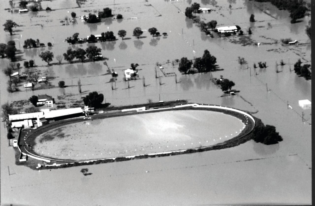
No racing at Greyhound Park – a heavy track on the eastern outskirts of Gunnedah.
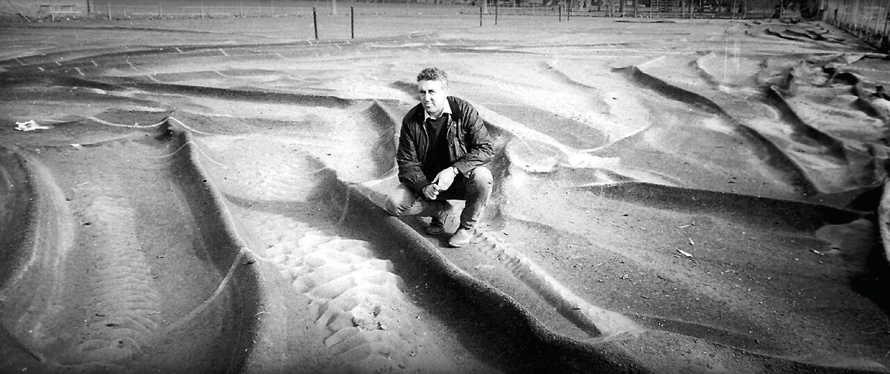
The Wolseley Park tennis courts were severely damaged in the 1998 flood. The foundations of the synthetic surface were ripped up by the floodwaters. Gunnedah Tennis Club president at the time, Kel Worboys, was pictured surveying the scene after the floodwaters passed.
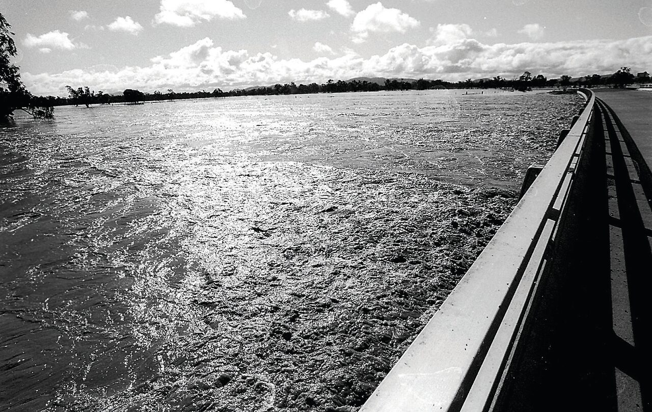
The Mooki in flood in the first, and highest, flood of 1998. The photograph was taken from the McDonagh Bridge on the Oxley Highway.


